Arrifana to Aljezure Walk - The Fishermen´s Trail
The Fishermen´s Trail Stage 7, South to North.
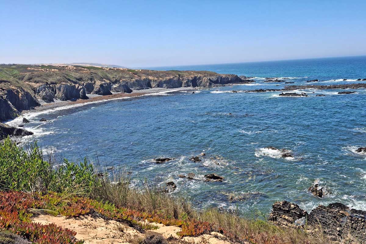
The walk from Arrifana to Aljezur is an easy to moderate day hike that takes about 4 to 5 hours to complete. The route is a part of the Fishermen’s Trail, a multi-day hiking route along the coast in the south of Portugal. The 17.17 km/10.66 mi hike offer spectacular scenery; dramatic cliffs, unspoiled beaches, and breathtaking lookout points hugging the ocean for 6 km/3.7 mi. Walking in the sand is the main challenge. Highlights of the day is Praia de Monte Clerigo, this beach is a nice stop for lunch at about halfway and Ponta da Atalaia, a spectacular viewpoint.
We also walked this stage the other way -The Fishermen´s Trail Stage 6, North to South - Aljezure to Arrifana
Stingy Nomads participates in the Amazon Services LLC Associates Program and other affiliate programs. If you click on the link and purchase the item or make a booking, we will receive an affiliate commission at no extra cost. Thank You for supporting us and assisting us to produce quality, free content.
Route Overview
- Total distance – 17.17 km/10.66 mi
- Time – 4 to 5 hours
- Total ascent – 381 m
- Total descent – 417 m
- Difficulty – easy to moderate
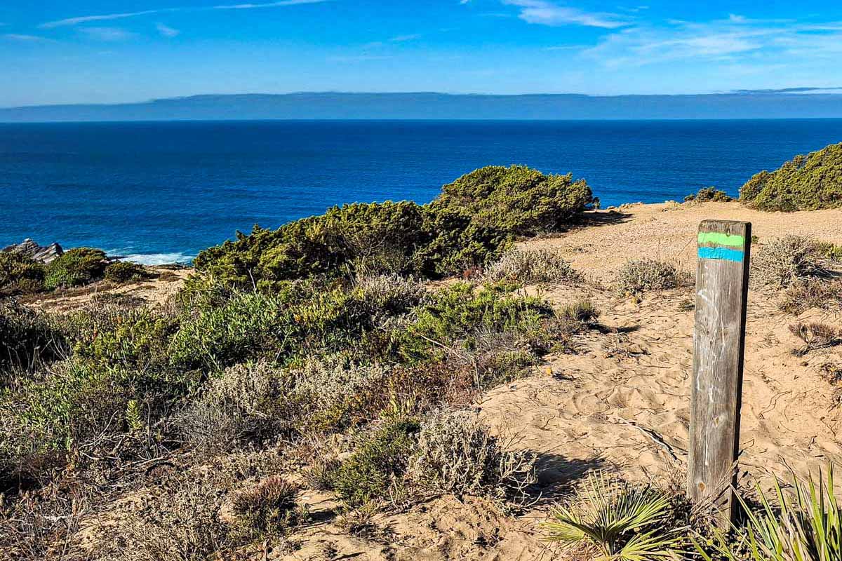
- Route markings – the coastal part is marked with green and blue stripes, the inland part is marked with white and red stripes.
- Starting point – Arrifana - Rota Vicentina signboard overlooking Arrifana beach
- Finishing point – Rota Vicentina signboard across the road from Aljezur Municipal Market (GPS pin)
- Walking Surface - Tar -5.15km/mi, Gravel - 6.9km/mi, Sand - 5.2km/mi
- Walking by the sea – 6 km/3.7 mi
- Walking route – Arrifana - Ponta da Atalaia viewpoint - Praia de Monte Clerigo - Aljezur
Navigate from Arrifana to Aljezur
Find below a Google Maps track we created by following the trail from Arrifana to Aljezur. This Google maps trail can be used on a mobile phone for navigation.
The link can only be opened while online (with Wi-Fi or data), but navigation on the track works even when offline. Make the map full screen, zoom in and keep the blue dot on the the trail.
GPX file of the Arrifana to Aljezur walk
You can download our GPX file of the trail and use it on your phone or watch for navigation.
You can use this digital map on your phone for navigation. Want to know how to use a GPX file for phone navigation?
Where does the trail start?
The trailhead of the Arrifana to Aljezur walk is at the Rota Vicentina sign board overlooking Arrifana beach.
Where Does the Trail End?
The trail ends at the Rota Vicentina sign board just before the bridge crossing Rua 25 de Abril, across the road from the Aljezur Municipal Market.
The highlights of the trail
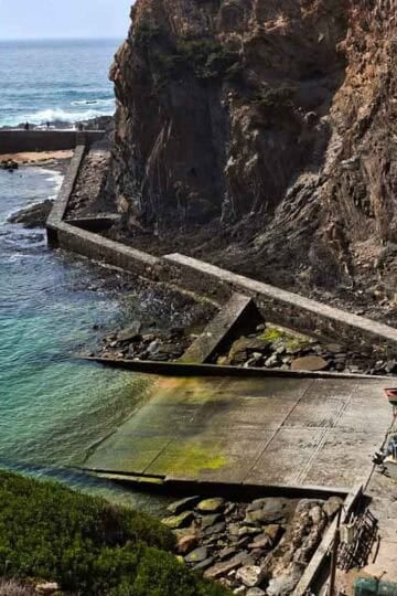
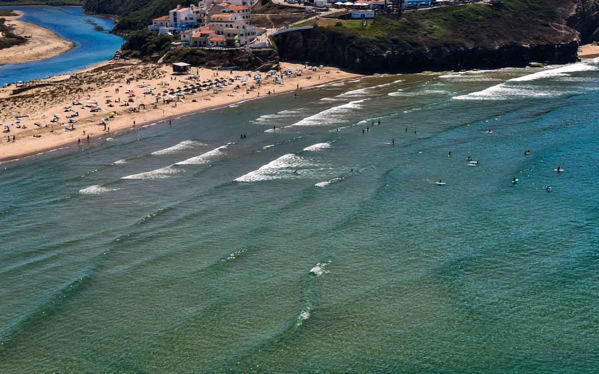
- View point Praia da Arrifana - Fantastic view of the towering black cliffs, Atlantic ocean and beach below. This is a popular surfspot and most days you can watch the surfers below (or rent a board and walk down o the beach).
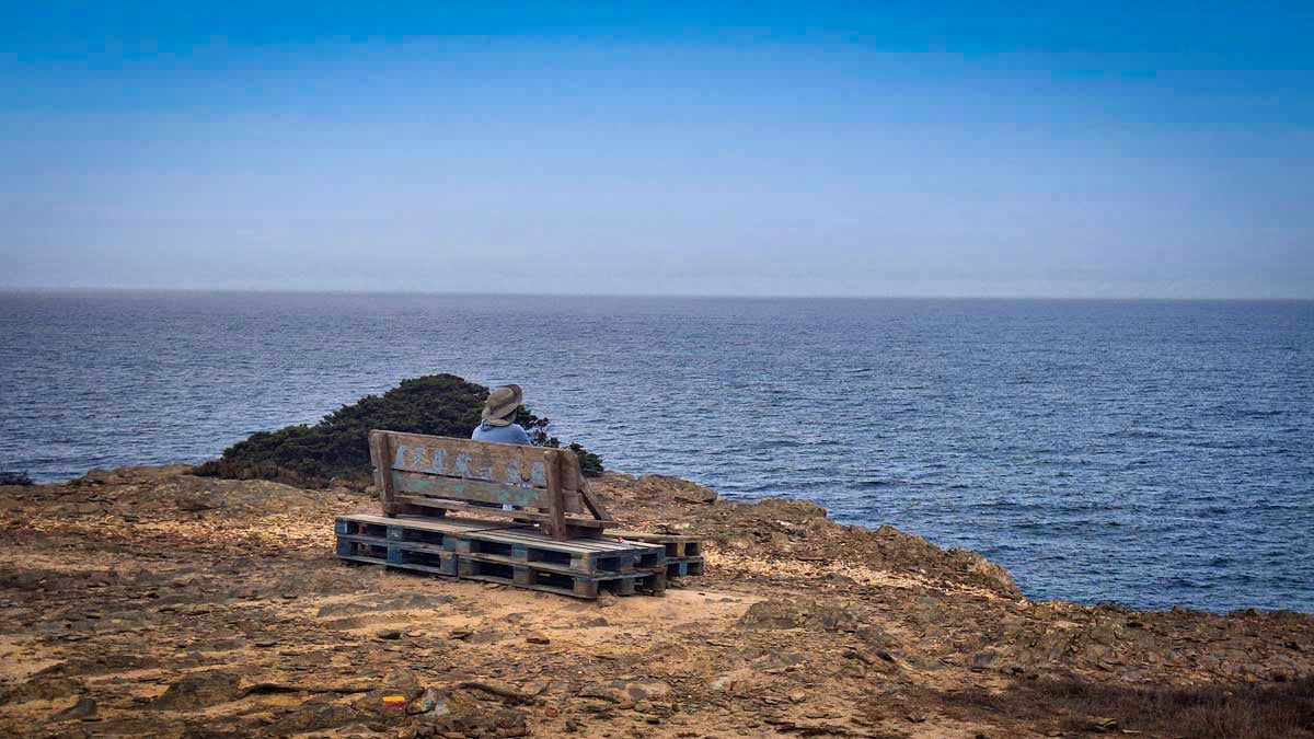
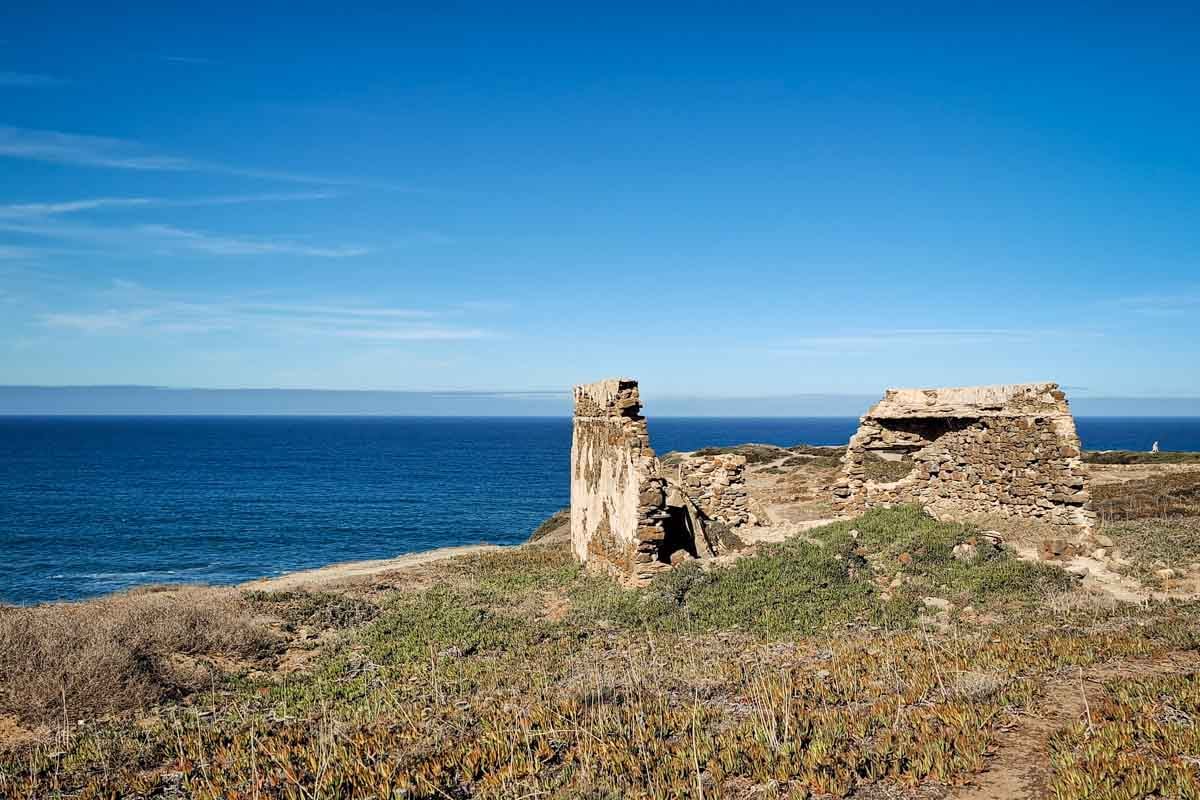
- Spectacular Ponta da Atalaia viewpoint with historic Ribat da Atalaia, 12th-century Islamic convent-fortress ruins at the look out.
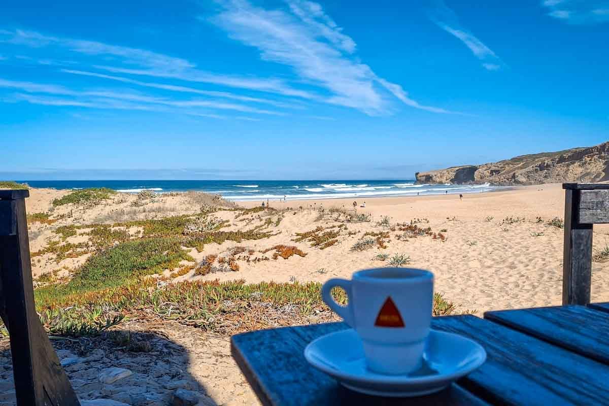
- Praia de Monte Clerigo - beautiful beach town half way Aljezur and Arifana, O Ze restaurant is a good stop for lunch or a snack.
- Praia da Amoreira, good views over the beach, you can walk down to the beach or eat something at Capitao restaurant with an amazing view.
The challenges of the walk
- During this day there is about 5km of walking on the sand that can be challenging.
- About 3km of walking on the main tar road at 11.5 km.
- Leaving Praia de Monte Clerigo there is a steep hill walking around a bend on the main tar road.
In which direction to walk?
I preferred walking this stage in the opposite direction from Aljezur to Arrifana (north to south). The long main road after a steep climb at the start was not too bad. I liked ending with a nice view over the ocean after a forest walk in Arrifana.
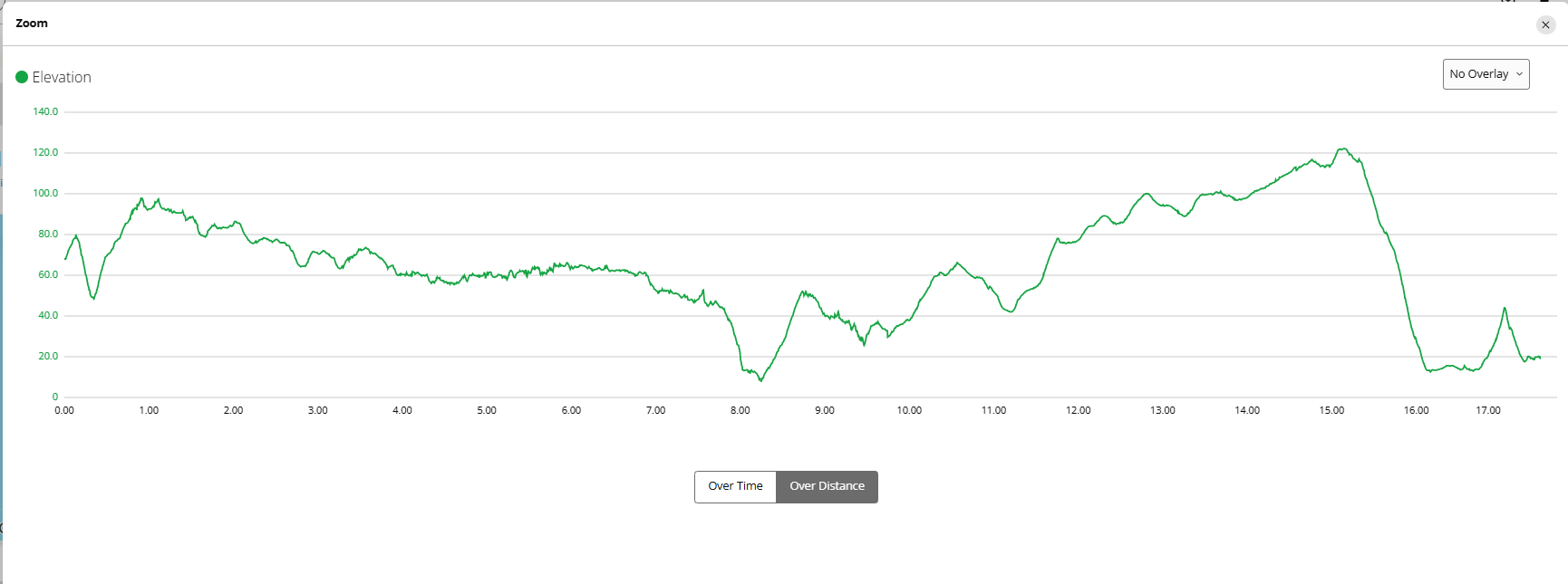
Elevation profile of the Arrifana to Aljezur trail
Stops along the route
- 7.8 km/4.84 mi - Praia de Monte Clerigo - half way Aljezur and Arrifana, nice beach, lunch at O Ze restaurant
- 9.4 km/5.84 mi -Praia da Amoreira, nice beach view, can go to the beach - Capitao restaurant, (opens 12pm), many surfers
- 17.17 km/10.66 mi - Aljezur Municipal Market (Cafe Du Pont)
Route Description Arrifana to Aljezur route
- Starting point – Rota Vicentina sign board Praia da Arrifana. Walk on the road to exit town.
- 150m - Aljezur walking sign to left, walk downhill
- 300m – turn off left on to a gravel road following signs
- 1.4 km/0.87 mi - turn-off to the left
- 1.5 km/0.93 mi - pine forest
- 3 km/1.86 mi - nice ocean views start
- 4.2 km/2.61 mi - Ponta da Atalaia a scenic coastal headland and viewpoint. - archaeological ruins of the Ribat da Atalaia, a rare 12th-century Islamic convent-fortress.
- 4.9 km/3.04 mi - Sandy trail
- 5.4 km/3.30 mi - Amazing cliff views
- 6.3 km/4 mi - Gravel road
- 7.5 km/4.66 mi - Steep downhill to the beach
- 7.8 km/4.84 mi - Praia de Monte Clerigo - half way Aljezur and Arrifana, nice beach, lunch at O Ze restaurant
- 8.0 km/5 mi - hill on the road, be careful for cars coming around the corners
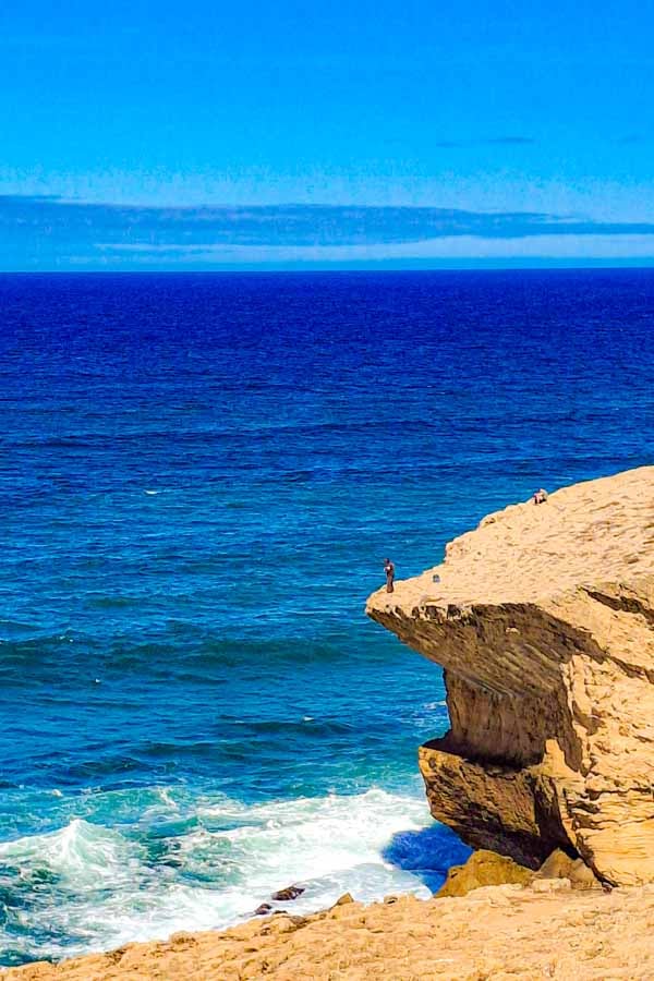
- 9.0 km/5.6 mi - Turn-off onto wooden boardwalk, see fishermen fishing off the cliffs. Trail goes next to the ocean, some sandy parts.
- 9.2 km/5.7 mi -footpath and bicycle track next to the road, nice ocean views
- 9.4 km/5.84 mi -Praia da Amoreira, nice beach view, can go to the beach - Capitao restaurant, (opens 12pm), many surfers
- 9.5 km/5.9 mi - sandy, single track through forest starts, follow the river, turn away from the ocean.
- 10.2 km/6.34 mi -Tar road starts
- 11.5 km/7.14 mi - Bus stop, start walking next to the main road.
- 14.3 km/8.88 mi - Start walking on a trail in the woods parallel to the main road.
- 14.7 km/9.13 mi - Turn left onto gravel road, follow red and white historical way markers to the end from here. Steep down.
- 15.7 km/9.75 mi - Casa de Ribeira - spa resort on the route.
- 16.4 km/10.19 mi - Steep up, paved road
- 16.7 km/10.37 mi - Enter Aljezur, cobblestones.
- 16.9 km/10.50 mi - Church
- 17.17 km/10.66 mi - Rota Vicentina signboard, across the road from Aljezur Municipal Market (Cafe Du Pont).
Places to stay in Aljezur
- Budget | Amazigh Design Hostel | Camping Serrão - bunglows or campsites (+351) 282 990 220 |
- Middle price | Homestay Attic | Casa marreiros | Casa Rocha Relax
- High-end | Casinhas Proença | Vicentina Hotel | Guesthouse A Leira
The Fisherman’s Trail itinerary South to North
You can find a detailed trail itinerary in THIS POST
| Day 1. Lagos - Praia da Luz 12.5 km/7.7 mi | Day 2. Praia da Luz - Salema 12 km/7.4 mi | Day 3. Salema - Sagres 20 km/12.4 mi |
| Day 4. Sagres - Vila do Bispo 20 km/12.4 mi | Day 5. Vila do Bispo - Carrapateira 15 km/9 mi | Day 6. Carrapateira - Arrifana 19.8 km/12,3 mi |
| Day 7. Arrifana - Aljezur 17.17 km/10.66 mi | Day 8. Aljezur - Odeceixe | Day 9. Odeceixe - Zambujeira do Mar |
| Day 10. Zambujeira do Mar - Almograve | Day 11. Almograve - Vila Nova de Milfontes | Day 12. Vila Nova de Milfontes - Porto Covo |
What to pack for hiking?
Carry enough water (you can buy more water around half way). Take cash for drinks and snacks on the way. Wear sufficient sun protection. Pack for the weather, maybe a towel if you want to go for a swim or a rain jacket if it looks rainy.
- Osprey Day pack
- SALOMON Trail Gaiters | Ankle Gaiters for Hiking
- Water bottle
- Sunscreen
- Cap
- Polaroid Sunglasses Men, Polaroid Sunglasses Ladies
- Light Quick Dry Towel
- Go Pro Hero 13
- GPS watch
Questions or Comments?
Got any questions or comments? We would love to help! All questions and comments will be answered by us personally in Buy Me a Coffee. Click below and ask away.
Feel free to support our site by buying us a coffee!

Travel bloggers and Camino de Santiago Experts