Aljezur to Arrifana Walk, The Fishermen's Trail
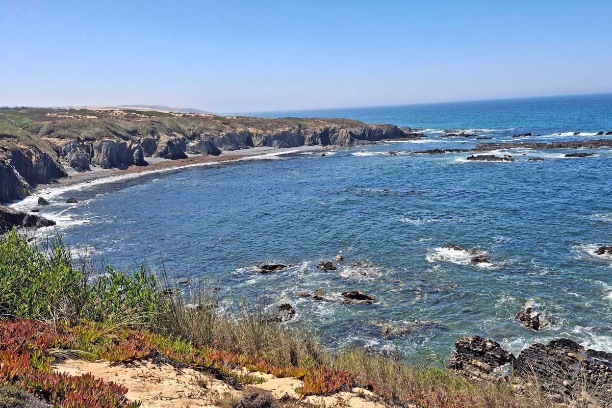
The Aljezur to Arrifana Walk is a part of the Fishermen’s Trail, a multi-day hiking route along the coast in the south of Portugal. This is a very nice day hike that takes about 4 to 5 hours to complete. This is a fairly easy to moderate 15.5 km/10.5 mi hike offering spectacular scenery; dramatic cliffs, unspoiled beaches, and breathtaking lookout points. Walking in the sand for about 6 kilometers is a bit challenging, but walking next to the ocean is very uplifting. Highlights of the day is Praia de Monte Clerigo, this beach is a nice stop for lunch at about halfway and Ponta da Atalaia, a spectacular viewpoint.
Stingy Nomads participates in the Amazon Services LLC Associates Program and other affiliate programs. If you click on the link and purchase the item or make a booking, we will receive an affiliate commission at no extra cost. Thank You for supporting us and assisting us to produce quality, free content.
The Aljezur to Arrifana Walk route overview
- Total distance – 17.23 km/10.7 mi
- Time – 4 hours
- Total ascent – 401 m
- Total descent – 350 m
- Difficulty – moderate
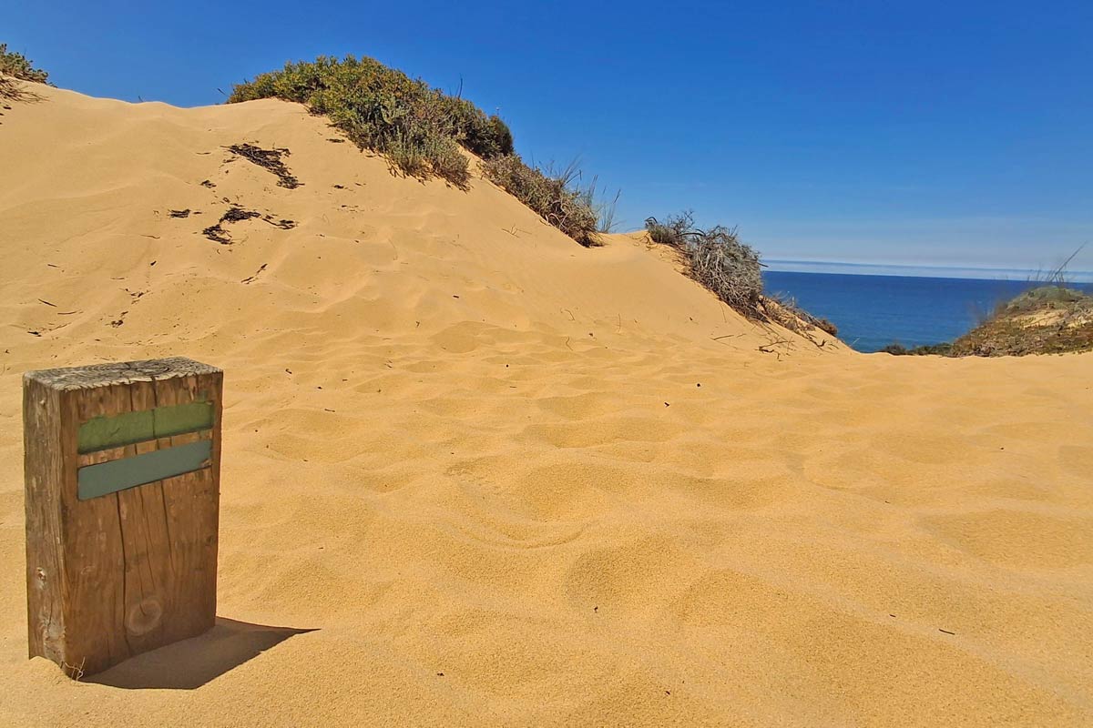
- Route markings – the coastal part is marked with green and blue stripes, the inland part is marked with white and red stripes.
- Starting point – Aljezur Municipal Market (GPS pin)
- Finishing point – Arifana - fishermens trail sign overlooking Arifana beach
- Walking surface – footpath; gravel road; sandy trails, asphalt.
- Walking by the sea – 6 km/3.7 mi
- Walking route – Aljezur - Praia de Monte Clerigo - Ponta da Atalaia viewpoint - Arifana
Navigate from Aljezur to Arrifana
The link can only be opened while online (with Wi-Fi or data), but navigation on the track works even when offline. Make the map full screen, zoom in and keep the blue dot on the trail.
GPX file of the Aljezur to Arrifana walk
For complete offline navigation download the Aljezure to Arrifana GPX file here.
Check here how to navigate with a GPX file on your phone.
Where does the trail start?
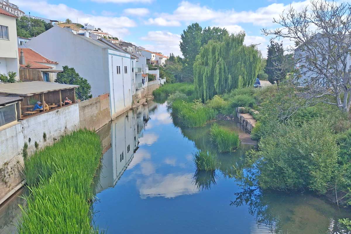
The trail starts at the Aljezur Municipal Market, walk across the bridge past Amazigh hostel, follow red and white historical way markers. Walk past the Aljezure Museum and follow the markers on to a gravel road. The green and blue Fishermen's trail markers only start after 2.5 kilometers.
Where does it finish?
The trail ends at the fishermen's trail sign overlooking Arifana beach, but if you are staying in town you can just head to your accommodation. Cal restaurant is a nice place to go for accross the road from the sign and the viewpoint. Arrifana HI hostel about 200m earlier, at the entrance to town is also a good place to stop for a drink.
How to get to Aljezur?
You can take a direct bus from Lisbon to Aljezur. The journey takes 4 hours. Flix buses leave from Oriente bus station in Lisbon twice a day. You can find up-to-date itinerary and buy tickets on the website.
There are direct buses from Portimao to Sagres through Lagos.
If you’re already in Algarve you can go on a public bus on Route 79 - Lagos, Bensafrim, Aljezur, Odeceixe. You can check for the timetable here.
The highlights of the Aljezur to Arrifana route
- Praia da Amoreira, nice beach view, you can walk down to the beach or eat something at Capitao restaurant with an amazing view.
- Praia de Monte Clerigo - beautiful beach town half way Aljezur and Arifana, good stop for lunch or a snack.
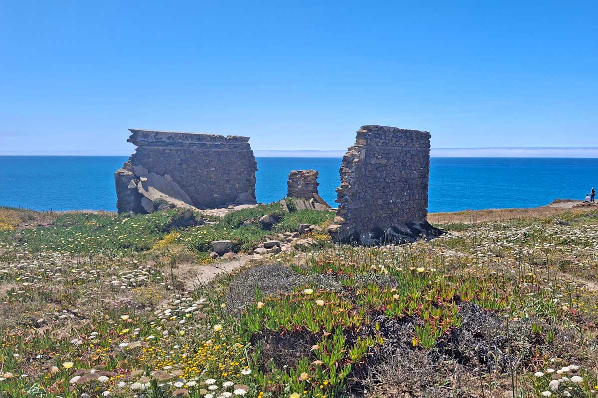
- Breathtaking ocean views from Ponta da Atalaia viewpoint
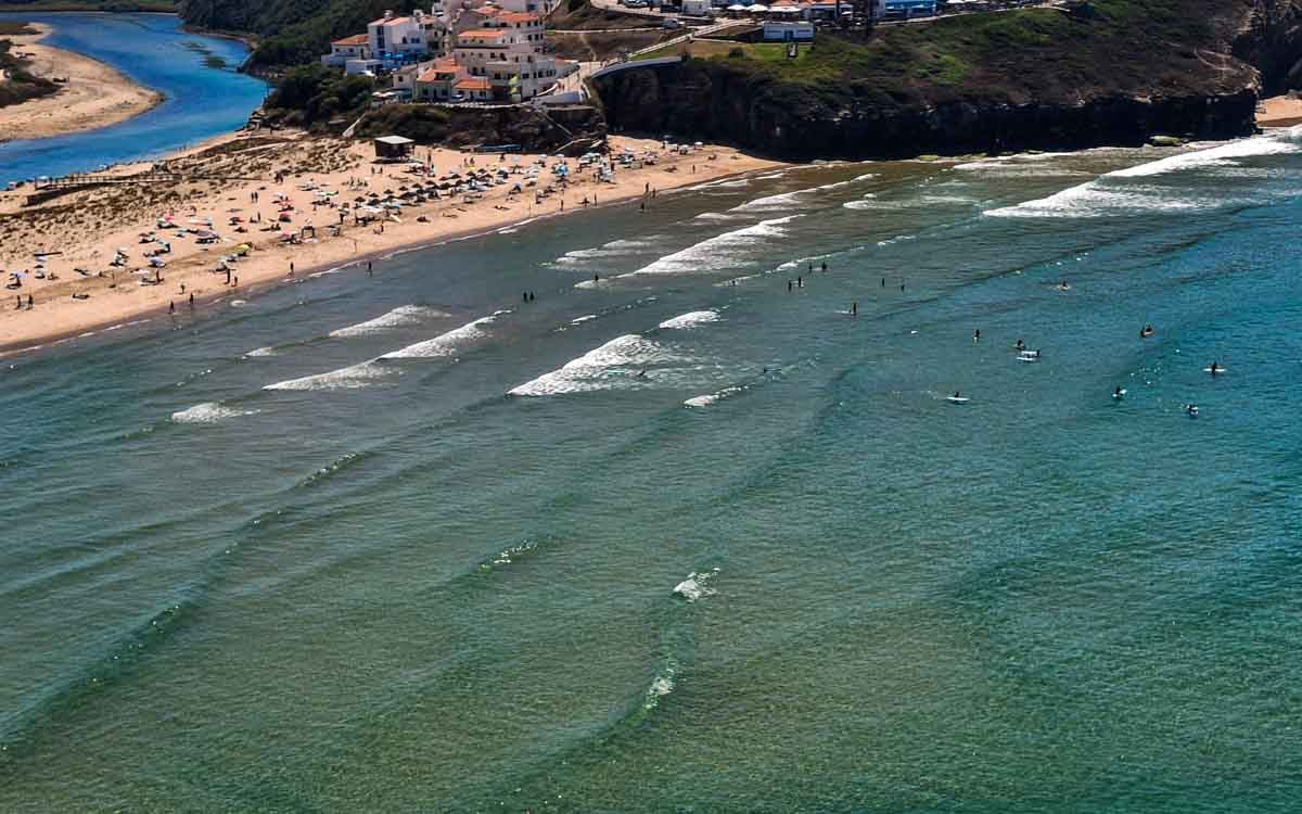
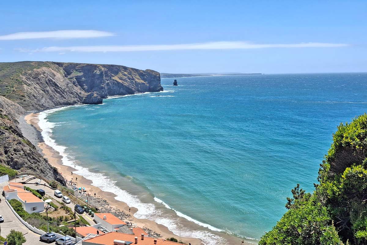
- Arifana beach, nice ocean views, popular surf spot, good restaurants.
The challenges of the trail
- A steep 1 km long climb at 1.3 km/0.8 mi
- 2 km of walking next to the main tar road on a trail at 2.4 km/1.49 mi .
- Halfway for the day from Praia de Monte Clerigo there is a nice little climb at 9.4 km/5.84 mi .
- The last 7 km of the trail is mostly in sand which is a bit of a challenge starting at 10 km/6.21 mi.
In which direction to walk?
I prefer walking from Aljezur to Arrifana finishing the part where you walk next to the road first, followed by walking on the sand and finishing at the ocean.
Elevation profile of the route
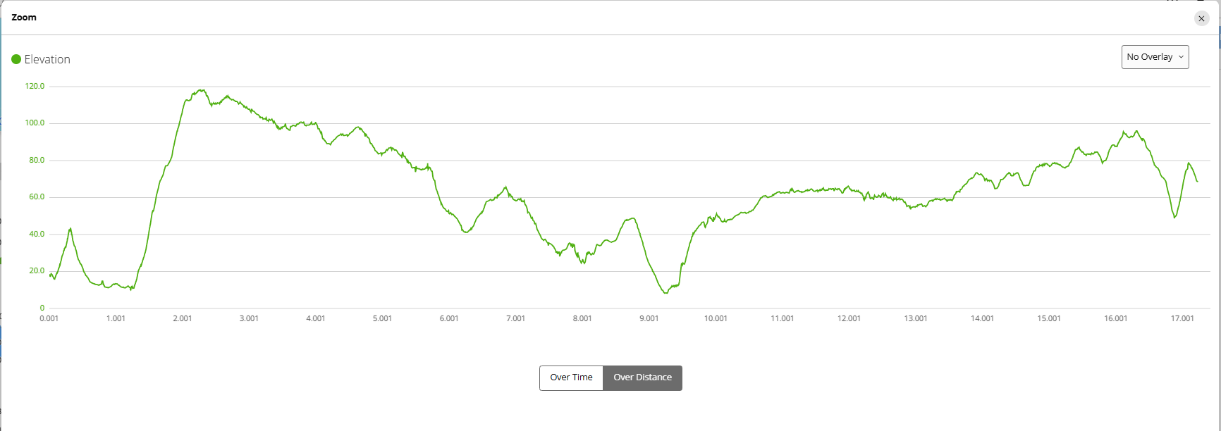
As you can see, there was a challenging climb early in the stage and short, steep climb at the halfway mark, followed by a gradual climb most of the way to Arrifana at the end.
Stops along the route
- 1.2 km/0.74mi - Casa de Ribeira - spa resort on the route
- 7.6km/4.72 mi - Praia da Amoreira, nice beach view from Capitao restaurant (no other shops)
- 9 km/5.59 mi - Praia de Monte Clerigo - half way aljezure and arifana, nice beach, restaurants, some shops
- 17.2 km/10.68 mi - Praia da Arrifana
Aljezur to Arrifana route description
Part 1. Aljezur to Praia de Monte Clerigo
- Starting point – Aljezur Municipal Market/ Amazigh hostel, follow red and white historical way markers
- 300m - Aljezure Museum - follow the markers past the museum on to gravel road, several markers, follow white and red
- 1.2 km/0.74mi - Casa de Ribeira - spa resort on the route
- 1.3 km/0.8 mi - steep 1 km climb
- 2.4 km/1.49 mi tar road ( main road) - 2km next to the road
- 2.8 km/1.78 mi - first green and blue fishermens trail sign
- 5.7 km/3.54 mi - bus stop, gravel starts, get off main road
- 6.9 km/4.28 mi - single track through forest starts.
- 7.6km/4.72 mi - Praia da Amoreira, nice beach view, can go to the beach
- 7.6 km/4.72 mi - Capitao restaurant, was closed, many surfers
- 7.8 km/4.84 mi -footpath and bicycle track next to the road, nice ocean views
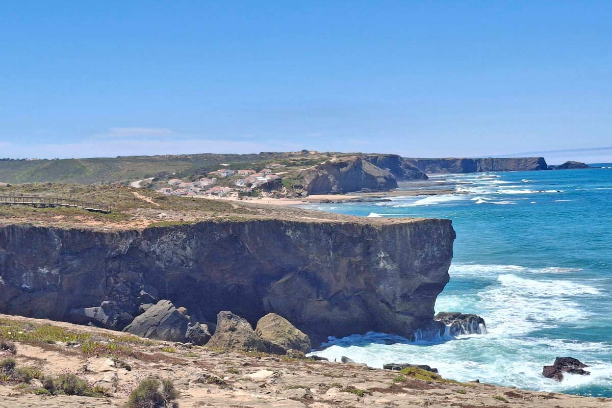
Part 2. Praia de Monte Clerigo to Arrifana
- 8.8 km/5.46 mi - on the road heading to the beach, be careful for cars coming around the corners
- 9 km/5.59 mi - Praia de Monte Clerigo - half way aljezure and arifana, nice beach, lunch at o ze restaurant
- 9.4 km/5.84 mi - nice little climb, followed by gradual uphill
- 10 km/6.21 mi - sandy trails start, lots of walking in the sand all the way to the end
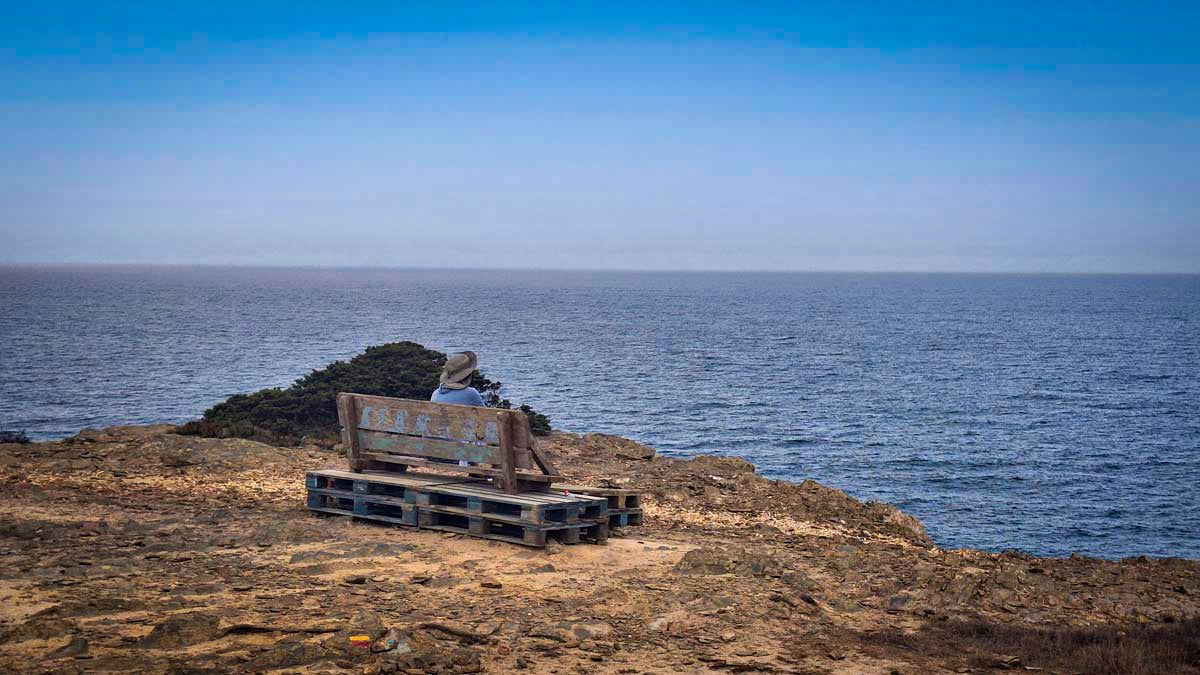
- 12.8 km/7.95 mi - breathtaking Ponta da Atalaia viewpoint
- 14.4 km/8.94 mi - dont miss the split
- 15.5 km/9.63 mi - dont miss the split
- 16.9 km/10.5 mi - tar road, short steep climb
- 17.2 km/10.68 mi - trail ends at the fishermens trail sign overlooking Arifana beach
Places to stay Praia da Arrifana
- Budget | The Lighthouse Hostel Arrifana | HI Arrifana Destination Hostel
- Middle price | Hotel Vale Da Telha |
- High-end | Utopia |
The Fisherman’s Trail itinerary
You can find a detailed trail itinerary in THIS POST
| Day 1. Porto Covo - Vila Nova de Milfontes 19 km/12 mi | Day 2. Vila Nova de Milfontes - Almograve 16 km/10 mi | Day 3. Almograve - Zambujeira do Mar 22,5 km/14 mi |
| Day 4. Zambujeira to Mar - Odeceixe 19 km/12 mi | Day 5. Odeceixe - Aljezur 22.5 km/14,5 mi | Day 6. Aljezur - Praia da Arrifana 19 km/12 mi |
| Day 7. Praia da Arrifana - Carrapateira 20 km/12,4 mi | Day 8. Carrapateira - Vila do Bispo 15 km/9 mi | Day 9. Vila do Bispo - Sagres 21 km/13 mi |
| Day 10. Sagres - Salema 20 km/12,4 mi | Day 11. Salema - Praia da Luz 12 km/7,4 mi | Day 12. Praia da Luz - Lagos 10,5 km/6,4 mi |
What to pack for hiking?
Carry enough water. Take cash for drinks and snacks on the way. Wear sufficient sun protection. Pack for the weather, maybe a towel if you want to go for a swim or a rain jacket if it looks rainy.
- Osprey Day pack
- Water bottle
- Sunscreen
- Cap
- Polaroid Sunglasses Men, Polaroid Sunglasses Ladies
- Light Quick Dry Towel
- Go Pro Hero 13
- GPS watch
Questions or Comments?
Got any questions or comments? We would love to help! All questions and comments will be answered by us personally in Buy Me a Coffee. Click below and ask away.
Feel free to support our site by buying us a coffee!
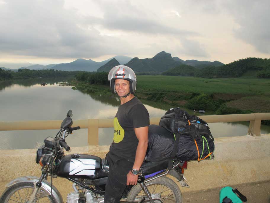
The strong half of Stingy Nomads, a nomadic aquaman that would be happy to spend all his life in the water diving, surfing and spearfishing but often has to compromise with Alya and go hiking instead. Campbell is responsible for all our marine adventures and following them with write-ups. He loves traveling, braai (BBQ in South Africa), red wine and spending the day in a wetsuit.