Aljezur to Odeceixe Walk, the Fishermen's Trail
The Fishermen´s Trail Stage 8, South to North.
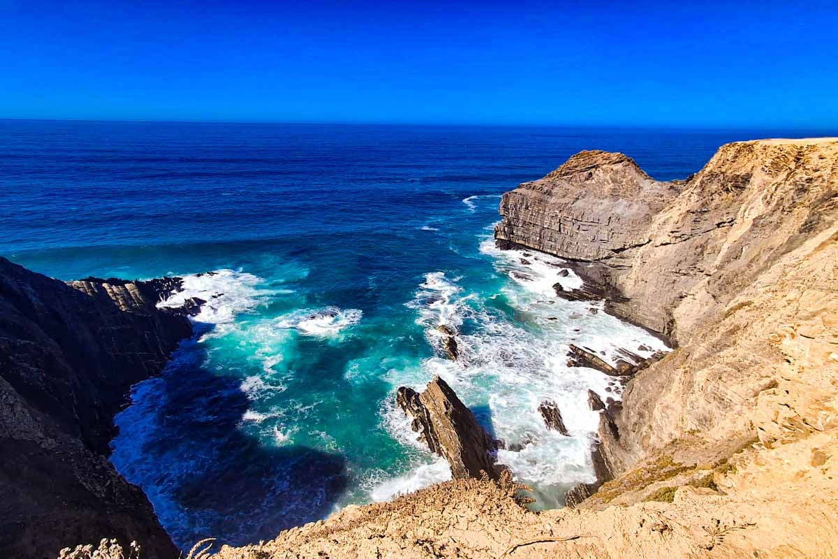
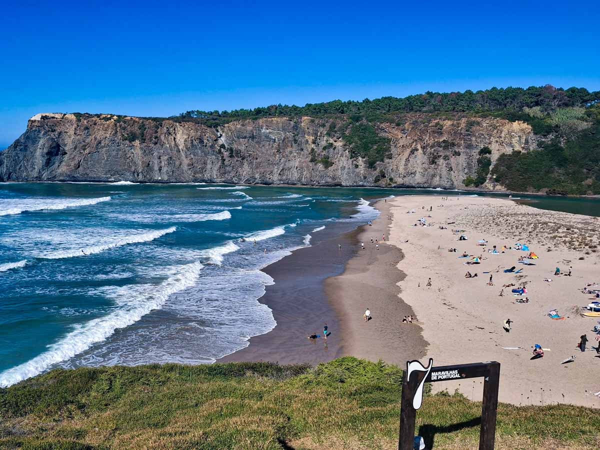
The Aljezur to Odeceixe walk is a long stage of the Fishermen’s Trail, covering 22.6 km with a lot of walking on the road. The stage starts with mainly inland tar and gravel sections. It is a long stage with less ocean views than most other stages on the trail, but still had some really scenic parts. Praia de Odeceixe is a beautiful highlight and a great place to stop, with amazing views over the beach and coastline. If you stop here it will make the stage 3 km shorter, ending at the beach instead of walking 3 more kilometers on the road at the end of the day.
We also walked this stage the other way -The Fishermen´s Trail Stage 4, North to South - Odeceixe - Aljezur
Stingy Nomads participates in the Amazon Services LLC Associates Program and other affiliate programs. If you click on the link and purchase the item or make a booking, we will receive an affiliate commission at no extra cost. Thank You for supporting us and assisting us to produce quality, free content.
Route Overview
- Total distance – 22.64 km
- Time – 5 to 6 hours
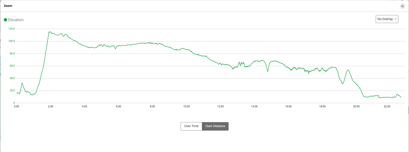
- Total ascent – 248 m
- Total descent – 246 m
- Difficulty – medium difficulty it is a long stage
- Starting point – Rota Vicentina sign board just before the bridge Aljezur Municipal Market
- Finishing point –Rota Vicentina sign board just before the bridge across the road from Aljezur Municipal Market
- Walking Surface - Tar -8km/9.9mi, Gravel - 9.7km/6mi, Sand - 3km/1.8mi, Cobblestones - 800m
- Walking route – Aljezur, Rogil, Praia de Odeceixe, Odeceixe
Navigate walking from Aljezur to Odeceixe
Find below a Google Maps track we created by following the trail from Aljezur to Odeceixe. This Google maps trail can be used on a mobile phone for navigation.
The link can only be opened while online (with Wi-Fi or data), but navigation on the track works even when offline. Make the map full screen, zoom in and keep the blue dot on the the trail.
GPX file of the route
You can download our GPX file of the trail and use it on your phone or watch for navigation.
You can use this digital map on your phone for navigation. Want to know how to use a GPX file for phone navigation?
Where does the trail start?
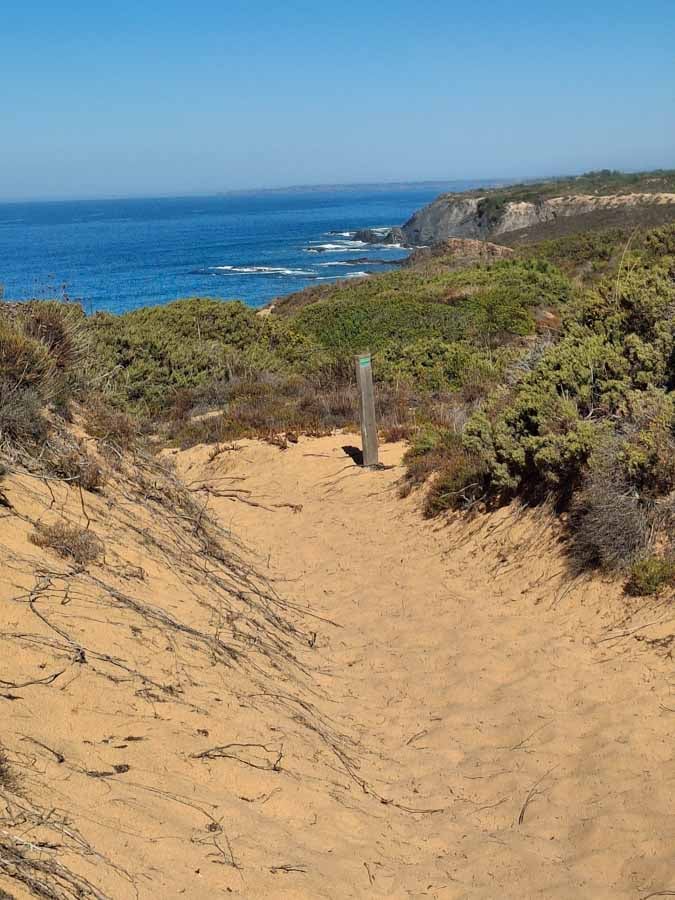
The trailhead of the Vila Nova de Milfontes to Almograve walk is at the Rota Vicentina sign board, Aljezur Municipal Market, Rua 25 de Abril
Where Does the Trail End?
The trail ends at the Rota Vicentina sign board at end of Rua de Rio in Odeceixe near the town square with plenty of restaurants and accommodation.
The highlights of the Aljezur to Odeceixe route
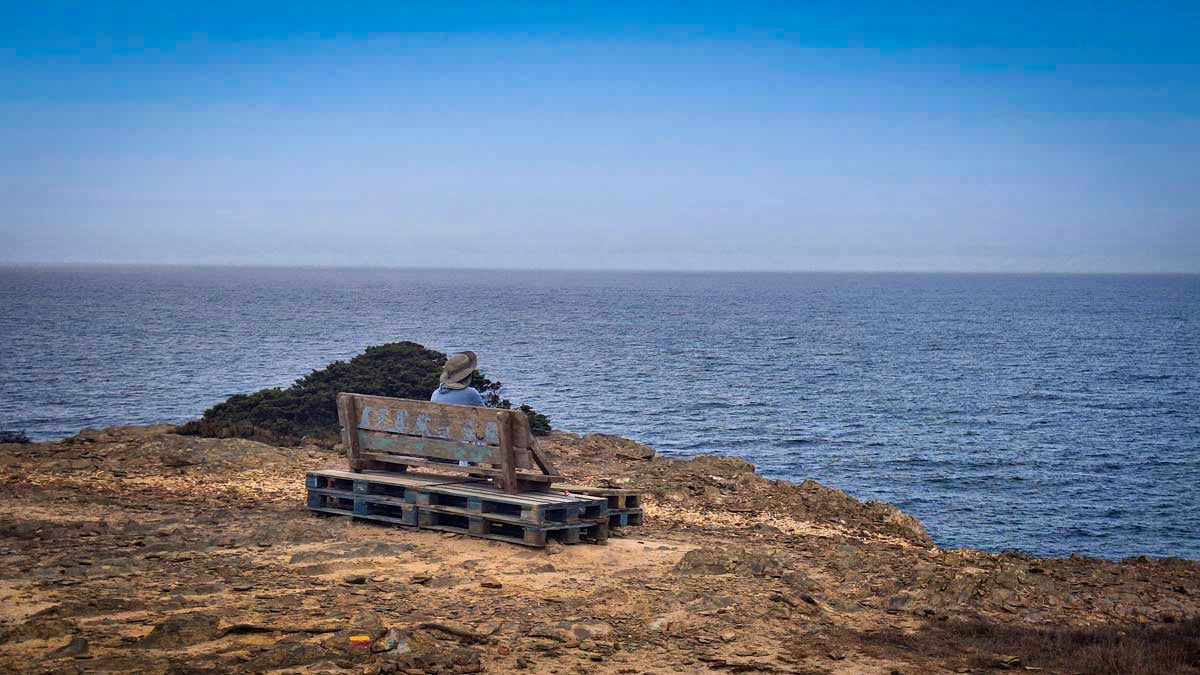
- Spectacular Coastal Views - High cliff paths offer great views of jagged rock stacks, nesting storks and the wild Atlantic ocean.
- Storks nesting on the cliffs.
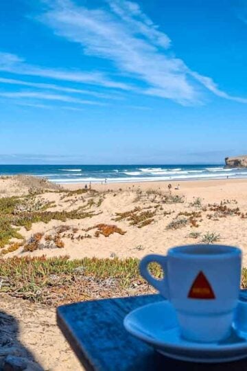
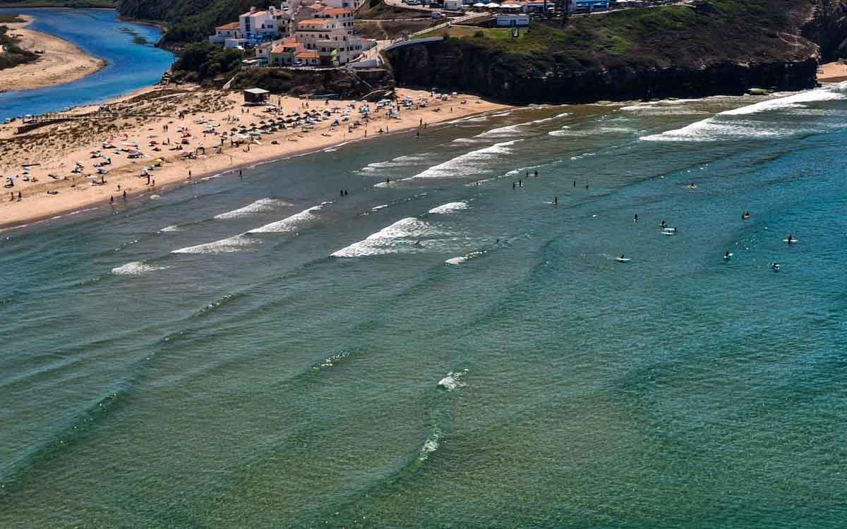
- Praia de Odeceixe, beautiful views of the beach, nice restaurants
- Nice views of the Seixe River
The challenges of the walk
- Long day, at 22.6 km (14 mi).
- Some sandy sections.
- A lot of walking on the road (Tar -8km/9.9mi, Gravel - 9.7km/6mi)
In which direction to walk?
I preferred walking the other way around from north to south (Odeceixe to Aljezur). Certain times of the year and day it is true that walking north to south you sometimes face the sun, this did however not really bother me in either direction (maybe my hat helped). With this stage I did not enjoy the long start on the tar road. When walking in the opposite direction from the majority of hikers on the trail it is bothersome to pass and wait for many hikers going in the opposite direction on the single trails.
Elevation profile of the Aljezur to Odeceixe trail
Stops along the route
- Aljezure - D'Maria Located right in the village square, good coffee and burgers.
- 3 km/1.86 mi - Campsite - Parque do Serrão, mini-market, toilets, vending machines.
- 7.7 km/4.78 mi - Rogil, small town - Pizzeria D'Aldeia (opens 12am), Pao de Rogil - great coffee shop/eatery, Spar Rogil, supermarket
- 19.13 km/11.88 mi - Praia de Odeceixe, good viewpoint, cafes, nice beach
Route Description Aljezur to Odeceixe route
- Starting point – Rota Vicentina sign board, Aljezur Municipal Market, Rua 25 de Abril
- 330m - Museu de Municipal Aljezur, Odeceixe sign to the right, red and yellow historical way marker.
- 800m– Exit town, gravel road
- 1.2 km/0.84 mi - Steep hill (gravel road)
- 2.2 km/1.37 mi - start seeing the ocean in the distance
- 2.94 km/1.82 mi - walk on tar road
- 3 km/1.86 mi - Campsite - Parque do Serrão, mini-market, toilets, vending machines.
- 3.4 km/2.11 mi - Split in road, take right (gravel)
- 4.2 km/2.6 mi - turn right Rogil/Odeceixe
- 7.3 km/4.53 mi - tar road start, some houses around.
- 7.7 km/4.78 mi - Pizzeria D'Aldeia (opens 12am)
- 7.75 km/4.81 mi - Tourism Office (information)
- 7.82/4.85 - Pao de Rogil - great coffee shop/eatery, walked through Rogil a couple of times, my favorite spot to stop!
- 7.95 km/4.93 mi - Spar Rogil, supermarket
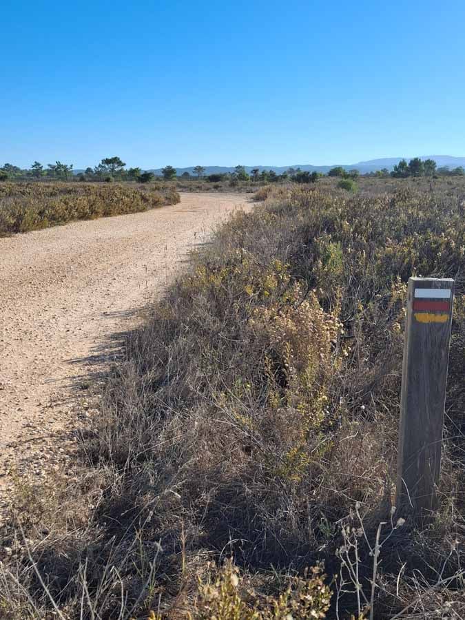
- 8.25 km/5.10 mi - road split, follow green and blue fishermen's trail sign to the left, not the red and yellow historical way sign!
- 9.40 km/5.84 mi - turn right onto gravel road
- 10.1 km/6.27 mi - pine forest, sandy trail
- 12.69 km/7.88 mi - first ocean viewpoint
- 13.50 km/8.38 mi - turn away from ocean, gravel road
- 13.70 km/8.51 mi - pine forest
- 16.03 km/9.96 mi - sandy trail next to the ocean
- 17 km/10.56 mi - nice ocean viewpoint
- 18.2 km/11.3 mi - nice ocean viewpoint, gravel road
- 19.13 km/11.88 mi - Praia de Odeceixe, good viewpoint, cafes, nice beach - walk on tar main road
- 21.3 km/13.23 mi - turn left onto gravel countryside road, many cows, nice area
- 22.2 km/13.79 mi - Odeceixe, follow the signs to the right where the road splits
- 22.5 km/13.98 mi - Town square, restaurants, hostels etc
- 22.64 km/14.06 mi - Route ends - Rota Vicentina sign board
Places to stay in Odeceixe
- Budget | Parquede Campismo São Miguel +351282947145 (camping) | BohemianAntiqueGuesthouse | HostelSeixe |
- Middle price | HortadoVale | Surf Seixe Guesthouse | Casade Hospedes Margarida | Casa Luar
- High-end | Casade Hospedes Celeste | Residênciado Parque | Sol Mar
Places to stay in Praia de Odeceixe
If you prefer to stay closer to the beach (and have a shorter day) you can end in Praia de Odeceixe (3 km/1.8 mi before Odeceixe), a tiny hamlet at the sea with some hotels and restaurants. Praia de Odeceixe is really beautiful.
Carlos’s Beach Hostel | Casa Dorita | Casas do Zé
The Fisherman’s Trail itinerary South to North
You can find a detailed trail itinerary in THIS POST
| Day 1. Lagos - Praia da Luz 12.5 km/7.7 mi | Day 2. Praia da Luz - Salema 12 km/7.4 mi | Day 3. Salema - Sagres 20 km/12.4 mi |
| Day 4. Sagres - Vila do Bispo 20 km/12.4 mi | Day 5. Vila do Bispo - Carrapateira 15 km/9 mi | Day 6. Carrapateira - Arrifana 19.8 km/12,3 mi |
| Day 7. Arrifana - Aljezur 17.17 km/10.66 mi | Day 8. Aljezur - Odeceixe | Day 9. Odeceixe - Zambujeira do Mar |
| Day 10. Zambujeira do Mar - Almograve | Day 11. Almograve - Vila Nova de Milfontes | Day 12. Vila Nova de Milfontes - Porto Covo |
Detailed breakdown, navigation and info on the walking stages of the Fisherman's Trail walking from South to North.
What to pack for hiking?
Carry enough water (you can buy more water around half way). Take cash for drinks and snacks on the way. Wear sufficient sun protection. Pack for the weather, maybe a towel if you want to go for a swim or a rain jacket if it looks rainy.
- Osprey Day pack
- SALOMON Trail Gaiters | Ankle Gaiters for Hiking
- Water bottle
- Sunscreen
- Cap
- Polaroid Sunglasses Men, Polaroid Sunglasses Ladies
- Light Quick Dry Towel
- Go Pro Hero 13
- GPS watch
Questions or Comments?
Got any questions or comments? We would love to help! All questions and comments will be answered by us personally in Buy Me a Coffee. Click below and ask away.
Feel free to support our site by buying us a coffee!

Travel bloggers and Camino de Santiago Experts