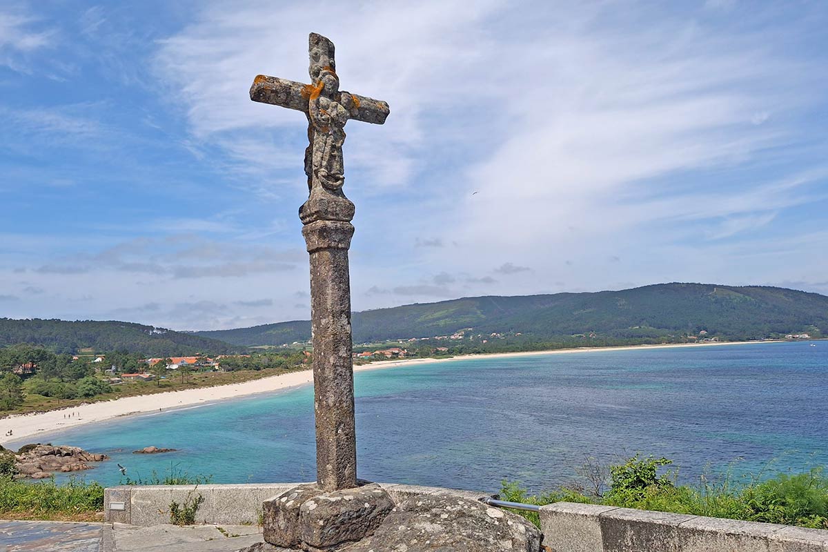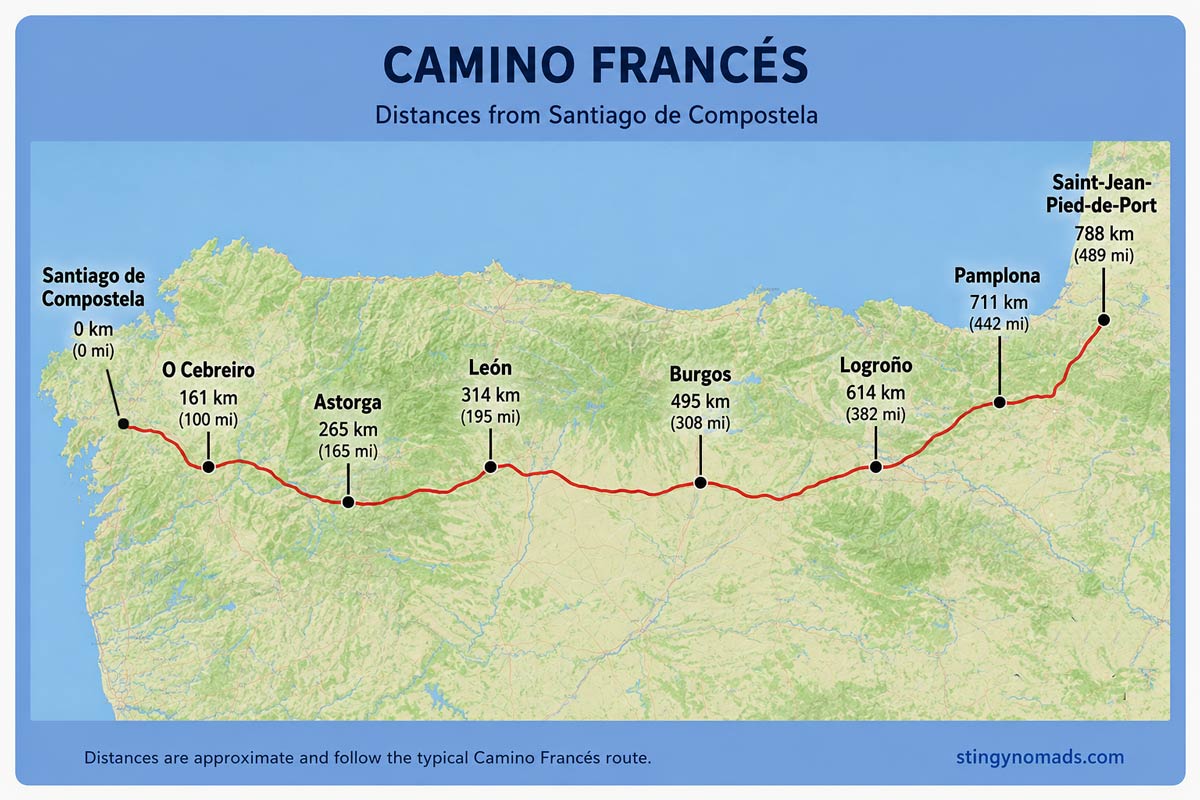
Camino Frances from Sarria to Santiago de Compostela Route Map for GPS navigation.
This is a Google Maps track of the Camino de Santiago the French Way (Camino Frances) from Sarria to Santiago de Compostela. This Google maps trail can be used on a mobile phone for navigation. We created this map following the yellow arrows with a GPS device. The link can only be opened while online (with Wi-Fi or data), but navigation on the track works even when offline. Click on the map, make it full screen, zoom in and keep the blue dot on the trail.

Travel bloggers and Camino de Santiago Experts