
The stage felt very long though it was only 20 km/12.4 mi. I waited all the time for the route to finally turn away from the railways and industrial areas and become more scenic but the entire 20 km/12.4 mi were pretty much like the first couple of kilometers from Vila Franca de Xira. The Camino did go through the fields in the middle but it was on a road with quite a few cars so not that enjoyable.
On the bright side the stage is very flat, not one even small hill to conquer. If you’re a fit walker you can finish the stage in under 4 hours and spend the rest of the day relaxing in Azambuja.
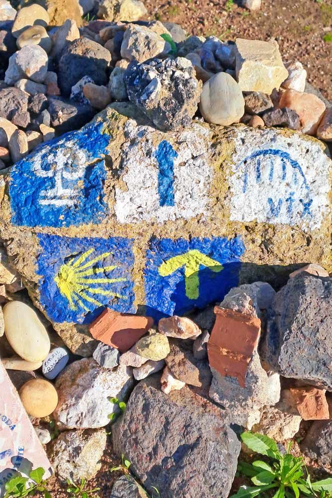
The route is well-marked; it’s easy to find the way without using any navigation. You go over metal bridges to cross to the other side of the railways twice. Don’t get confused when the route leads you to the platform just go over the bridge.
Stingy Nomads participates in the Amazon Services LLC Associates Program and other affiliate programs. If you click on the link and purchase the item or make a booking, we will receive an affiliate commission at no extra cost. Thank You for supporting us and assisting us to produce quality, free content.
GPX file of the stage
Navigation
Stage overview
- Distance – 20 km/12.4 mi
- Time – 4-5 hours (moving time)
- Walking surface – 12 km/7.4 mi – asphalt/tar; 7 km/4.3 mi – gravel road/footpath; 1 km/0.6 mi – cobbled.
- Accumulated ascent – 73 m
- Accumulated descent – 55 m
- Walking on the road – 7 km/4.3 mi
- Difficulty level – 1 out of 5
- Scenery – 1 out of 5
Highlights of the stage
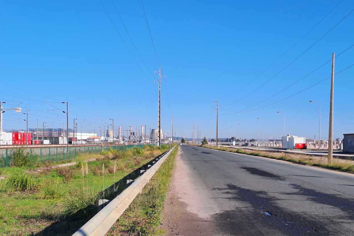
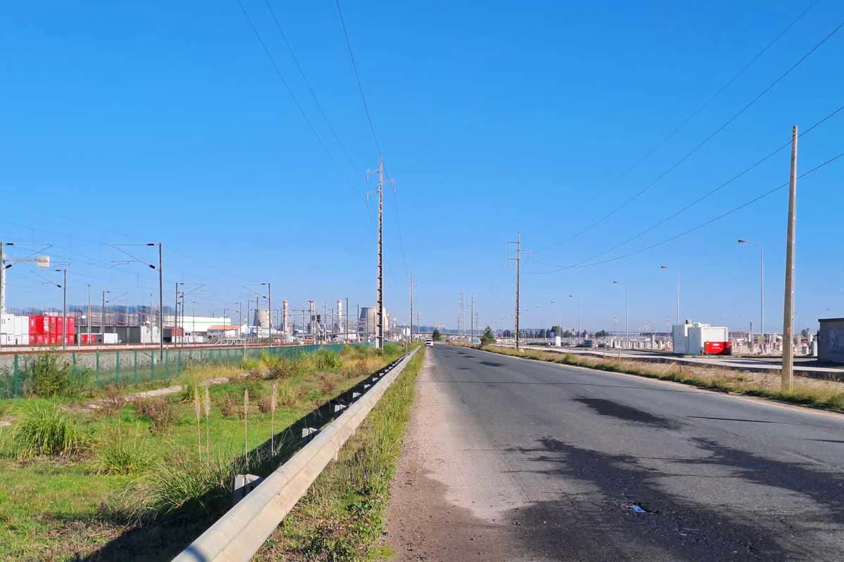
To be honest it is one of the most monotonous Camino stages I’ve ever walked. There is nothing that I could define as the highlight. It was mostly along the railway, on the road, and past industrial areas. The route goes through the fields but there is almost always a railroad or factories/storage facilities on one side.
Challenges
Walking on the road for 7.8 km/4.8 mi. Some parts are quiet with very few cars, some are busier with cars and trucks.
Not many places to stop for food or coffee. Make sure you carry enough water, I suggest 2L per person and some snacks.
The last 2 km/1.2 mi to Azambuja on a dirt road with many puddles and mud. I guess in summer when it doesn’t rain it won’t be a problem.

Route description
Once the Camino leaves Vila Franca de Xira and goes through the fields.
0-1.5 km/0-0.9 mi – on a quiet road through the fields
1.5-3.5 km/0.9-2.1 mi – on a dirt road through the fields along the railway. There are some factories and storage facilities on the left side behind the train track.
3.5-7 km/2.1-4.3 mi – mostly on the quiet road.
6 km/3.7 mi – the Camino turns away from the railway.
7 km/4.3 mi – the route goes over the pedestrian bridge to the other side of the rail tracks. It’s some sort of a town. I saw a couple of cafes and bars just past the train station but they were closed at the time.
7-8.5 km/4.3-5.2 mi – the Camino goes through the town.
8.5-12 km/5.2-6.4 mi – on a road with quite a lot of cars. It’s not a busy main road but there is still quite a bit of traffic and some cars drive fast. The road is through the corn fields.
12 km/6.4 mi – Vila Nova da Rainha, a small town with a couple of restaurants/bars, shops, and an ATM. There is a small church just a few meters away from the Camino route.
12.8 km/8 mi – the Camino goes over the bridge to the other side of the railways and continues on a gravel road along the train track for 6 km/3.7 till Azambuja. The last 2 km/1.2 mi are on a muddy dirt road which is probably not a problem in summer. This part is quite monotonous, a stretch along the railway with the fields on the right side and storage facilities and factories on the left side behind the train track.
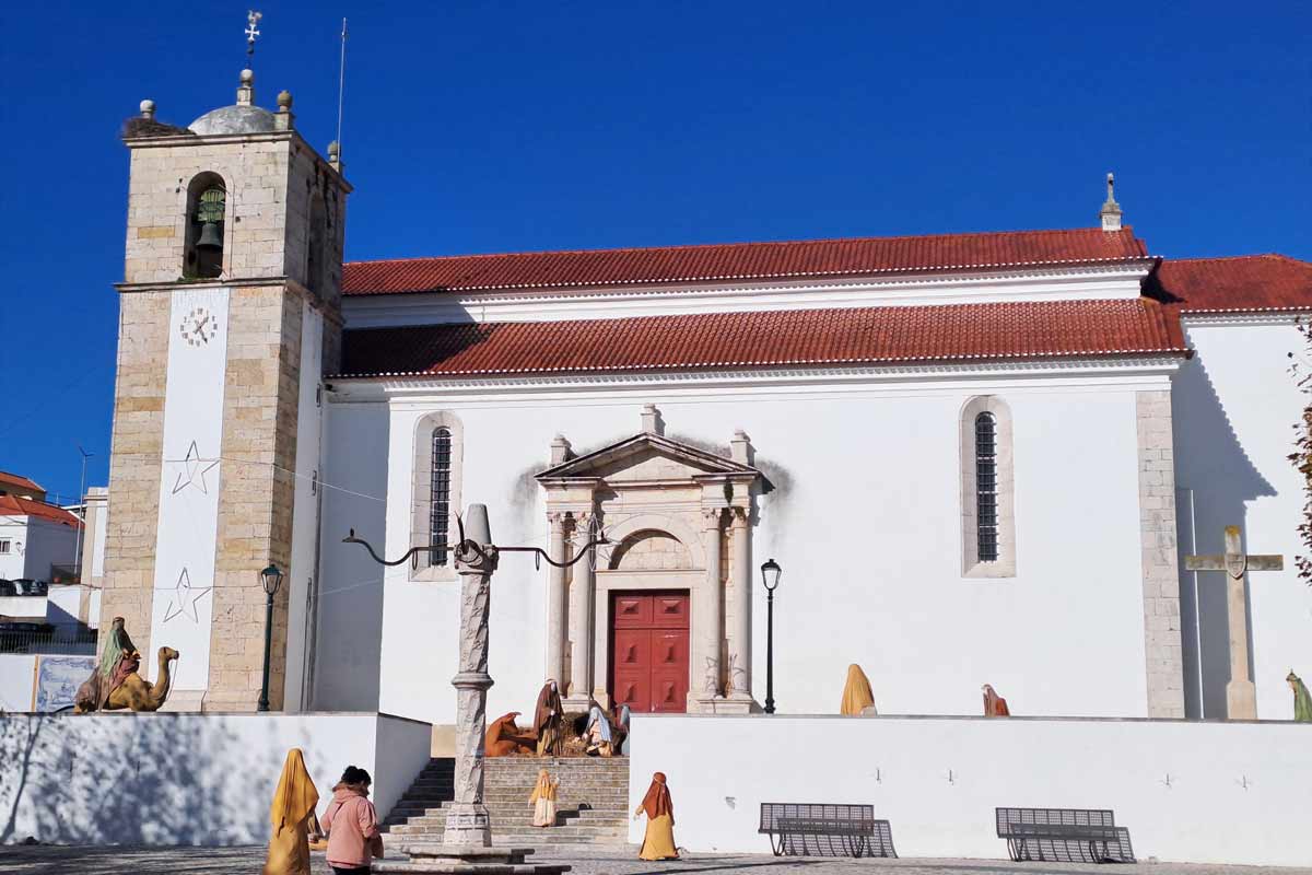
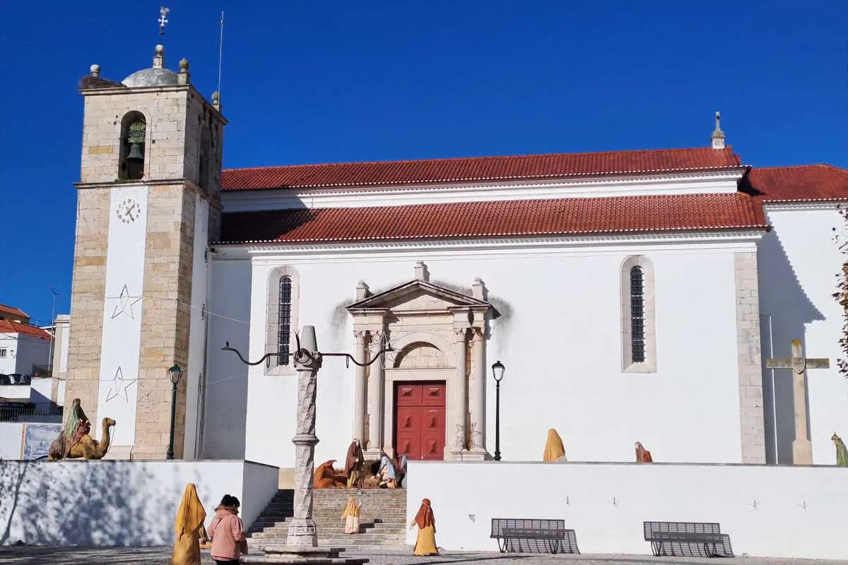
19 km/11.8 mi – Azambuja, a biggish town with supermarkets, restaurants, pharmacies, hotels, etc. I liked the town’s church it’s on the Camino route on the way to the albergue.
20 km/12.4 mi – Municipal Albergue of Azambuja.
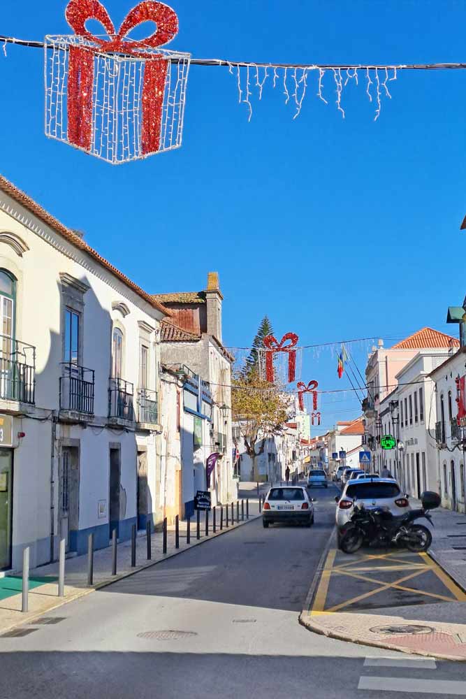

Azambuja
It’s a biggish town with a public albergue, a couple of hotels, several restaurants, bars, and shops. There are two big supermarkets; ALDI – at the entrance to the town and Inter Marche – at the exit of the town past the public albergue.
Azambuja has a direct train connection with Lisbon in case you need to get back to the city. It takes 30 minutes to get there by train.
Accommodation
| Distance | Town | Hotel | Booking info | Price range |
| 7 km/4.3 mi | Estacion de Carregado | Estação Real | book here | $-$$ |
| 19-20 km/ 11.8-12.4 mi | Azambuja | Municipal Albergue | info here | |
| Casa da Rainha | book here | $$ | ||
| Flor da Primavera | book here | $$ | ||
| Ouro Motel (at the entrance to the town, on the route) Not great reviews. | +351 263 406 530 | $$ | ||
| Alfaro’95 (it’s 4 km/2.4 mi) from the Camino and the town. I suggest getting a taxi/Uber to and back. | book here | $$-$$$ |
Questions or Comments?
Got any questions or comments? We would love to help! All questions and comments will be answered by us personally in Buy Me a Coffee. Click below and ask away.
Feel free to support our site by buying us a coffee!


The pretty half of Stingy Nomads, responsible for all our land adventures (hiking, climbing, walking the Camino) and following them write-ups. Alya loves walking since she was a child, she prefers to walk 1000 km with a backpack rather than to do a 10 000 km road trip (actually any road trip). Alya is a big fan of Latin America, the Spanish language, and dancing. Every time we go away she desperately misses our dog Chile.